
It’s essentially an open source fork of maps.me by the original creators.
I’ve been using OSMAnd for years, but it always felt laggy and not that reliable. Searching was slow and so on. Many street or things it didn’t instantly find.
In the Graphene App Store I jnust discovered Accrescent (another app store thing but only with like 10 apps - they’re all gold though, god damn)
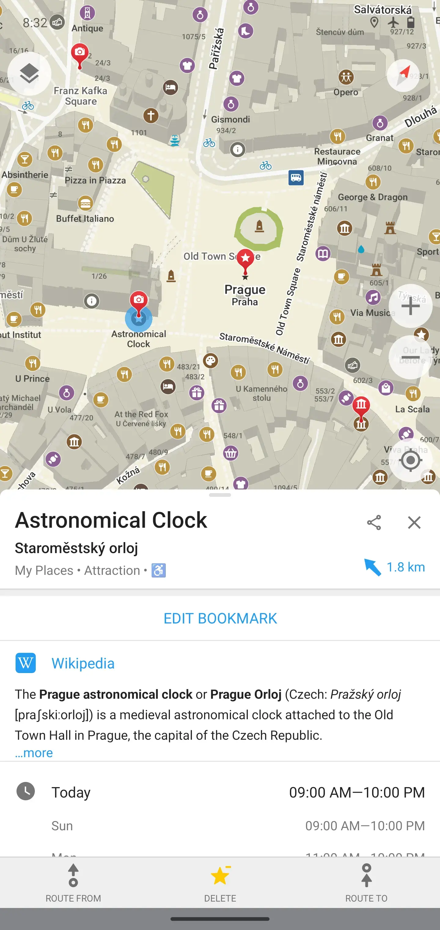
An in there I found organic maps. And this shit is google maps level responsive. If you’re on the lookout for a google maps replacement - consider trying this.
Byeeee
Interesting. Do you happen to know where it gets its traffic data from? I haven’t yet personally found anything nearly as useful as Waze.
They collect location of their users but anonimize every data on device, they can’t track anyone personally. They also sell their SDK to businesses and collect data from there as well.
From reading the Magic Earth FAQ, I believe the user data actually isn’t used for traffic at all (at least the manually reported events certainly aren’t).
Edit: never mind I missed a later part in the FAQ:
But I don’t think Magic Earth is that widely used. How precise is it really?
I use it frequently, and it’s mostly right. It can tell traffic jams really precisely (it says something like “you will have to stop in 300m” and the traffic jam is actually starts at ∓10m from that point)
But it tries to navigate me through fully closed roads. I don’t know why is that. The kind of closed road it misses is regularly closed, but at irregular intervals (like most weekends on the summer, but not always, if there is some happening it is also closed on weekdays, etc). These kind of irregular things shouldn’t be mapped in OpenStreetMap (As documented in the wiki) I have a feeling that they think that it should be mapped, but I won’t map it.
I guess it also depends on where you live, so just try it first.
Honestly, when a road is closed for a weekend at irregular intervals without a schedule in advance its not reasonable to map it. I contribute to OSM from time to time and thought about it as well but the general consensus is to map regular closures or road closures that go on for like more than a month. OSM is a general purpose map and not for mapping road closures as current data will be used long after now on offline navigation gps devices. We would probably need an open street closure map that aggregates all the databases for road closures and interact with osm. For the major ones I know I’ve just been blocking what I know locally to not route through it, as I can’t be bothered in starting a project like that
Given they are working with third party for traffic data, it should be theoretically possible for them to exploit ad network or work with google for mobile locations.
My experience with Waze was inferior to Organic Maps.
Interesting. How so?